
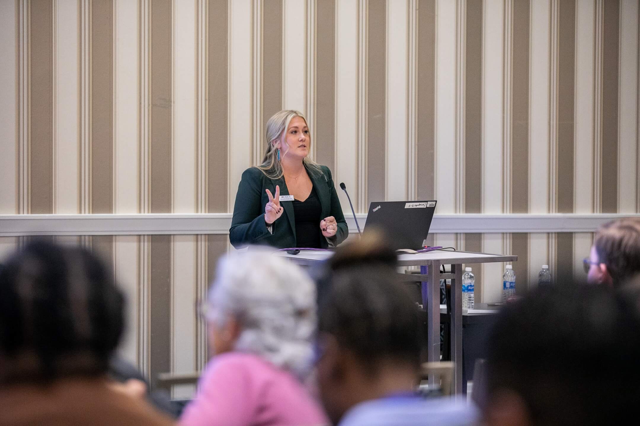
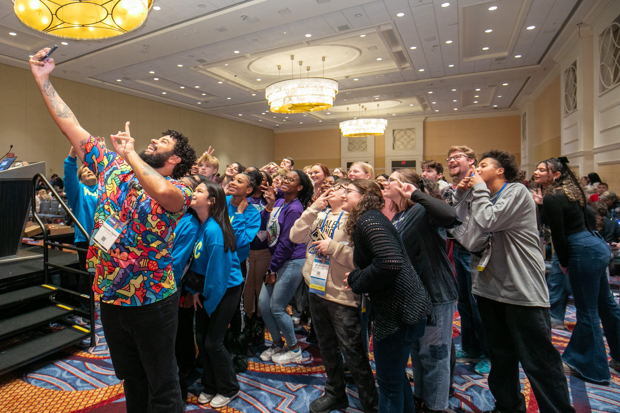
Kansas Youth Leaders Awarded Scholarships to Attend CADCA’s 35th Annual National Leadership Forum
Learn MoreCADCA Membership
When you become a CADCA member, you join more than an association. You join a movement to build healthy, drug-free communities and empower youth to reject substance use and misuse so they can reach their full potential.
Who We Are
Founded in response to the devastating crack-cocaine epidemic of the 1980s, CADCA was born from a nationwide need to mobilize communities against rising drug use. In 1989, President George H.W. Bush established the President’s Drug Advisory Council to address the crisis, which led to the recommendation to form a nonprofit dedicated to coordinating prevention efforts. By 1992, CADCA was established to unite coalitions, share strategies, and drive community-level solutions. In 1997, CADCA played a pivotal role in securing the passage of the Drug-Free Communities (DFC) Act, the nation’s cornerstone program for preventing youth drug use.
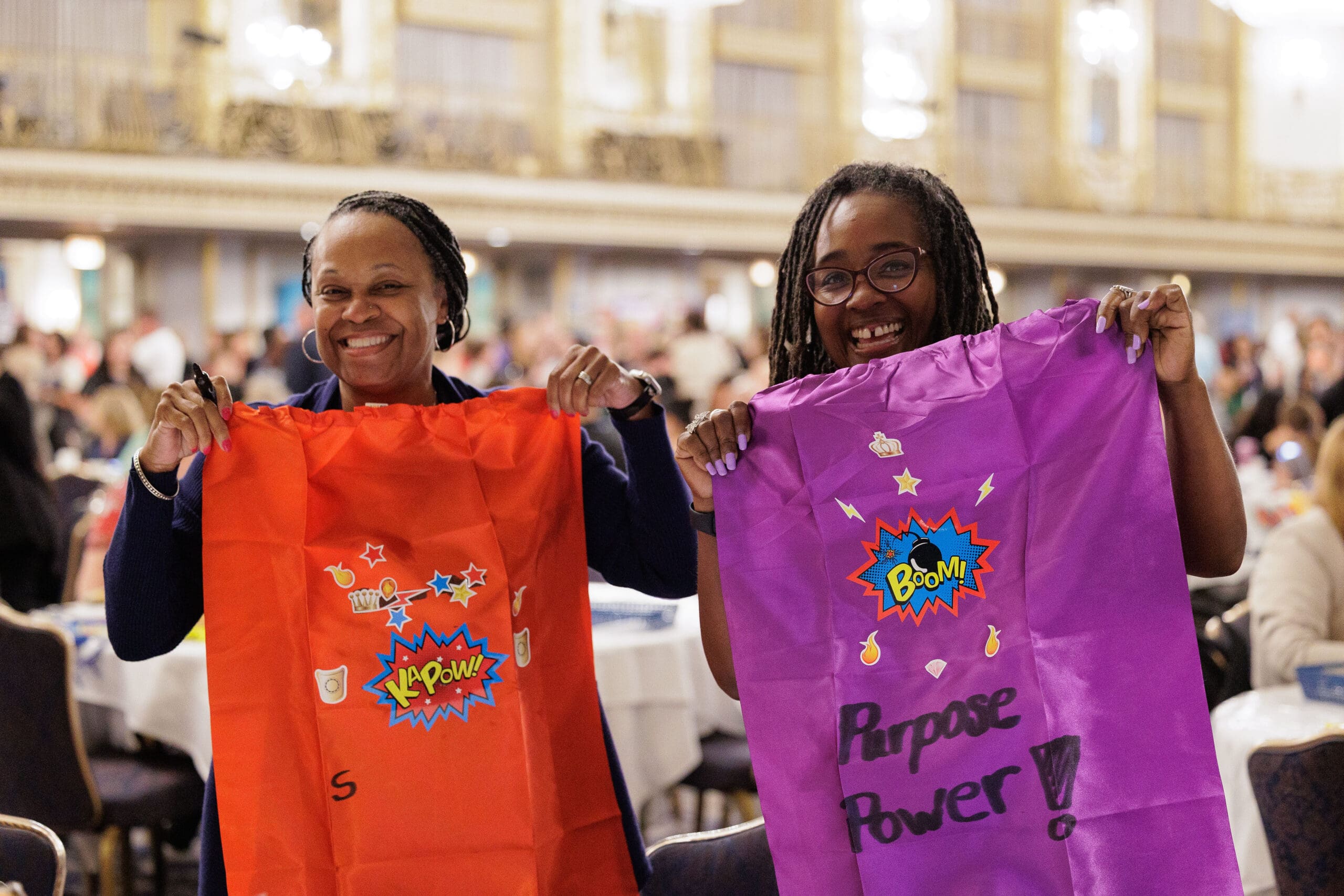
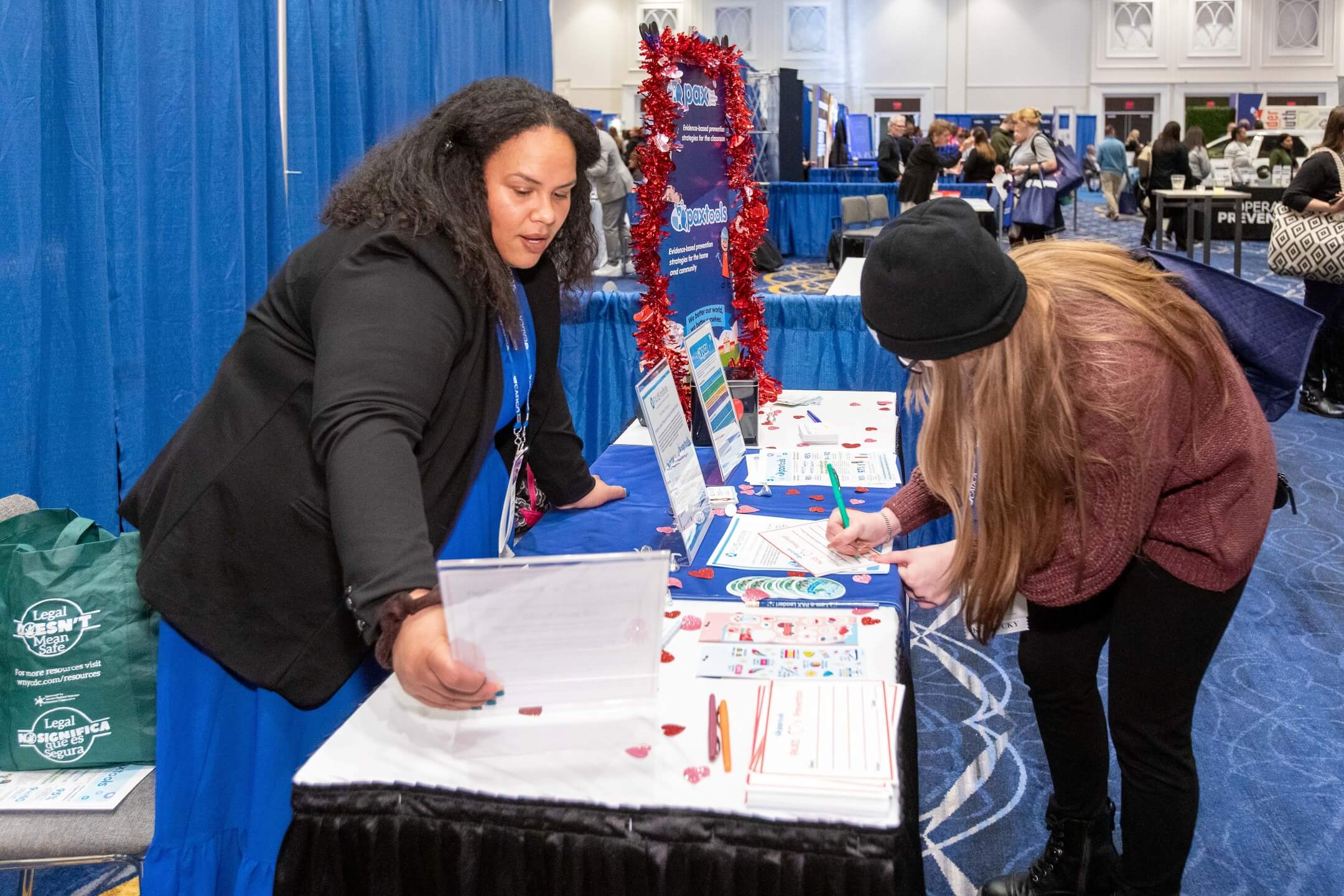
CADCA represents over 7,000 community coalitions that involve individuals from key sectors including schools, law enforcement, youth, parents, healthcare, media, and others. We have members in every U.S. state and territory and more than 28 countries around the world.
Advocacy
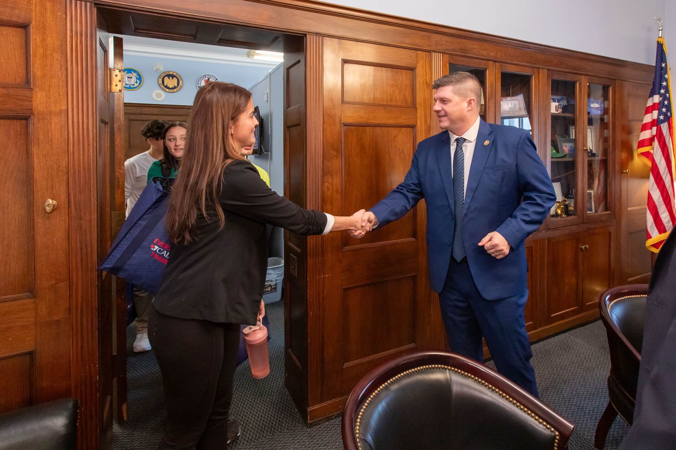
CADCA empowers members to advocate effectively for prevention within the complex landscape of public policy, ensuring their voices are heard amidst competing issues at all levels of government.
Training
Whether you’re starting, joining, or enhancing your prevention efforts, CADCA offers a wealth of resources and trainings to bolster the effectiveness and sustainability of your community initiatives.
Support
Navigating the challenges of community prevention efforts can feel overwhelming. Join CADCA to connect with coalition members globally, share best practices, and receive personalized support tailored to your community’s needs.
Our Global Impact
Latest News
Coalitions In Action: The Right Path for Washington County
Youth Lead the Way at Mental Health Advocacy Day
Congresswoman Nita Lowey: Remembering a Champion for Substance Use Prevention
President Trump Signs Continuing Resolution into Law
Help children and families struggling to get access to drug prevention resources
When you make a tax-deductible gift to CADCA, you help educate, develop skills and foster healthier communities for millions of people across the world.


Get involved. Let's improve prevention for
everyone globally– and build lasting impact.
500 Montgomery St, Suite 400, Alexandria, VA 22314 | 877-540-3302 | Privacy Policy | Donate
CADCA is a nonprofit organization that is committed to creating safe, healthy and drug-free communities globally.

CADCA is a 501(c)(3) under federal tax guidelines. Site Support.
Donations to CADCA are tax-deductible to the full extent allowable under the law.