


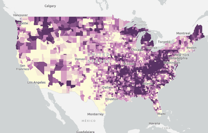
Interactive State Cancer Control Profiles to Help Guide Cancer Control Efforts
The State Cancer Profiles website provides data, maps and graphs to help guide and prioritize cancer control activities at the state and local levels.

Geographic Surveillance Learning Collaborative 2020 – Highlights from Tobacco Control Programs
Last year, the Geographic Health Equity Alliance and Counter Tools facilitated the inaugural Geographic Surveillance Learning Collaborative for National Comprehensive Cancer Control and National Tobacco Control Programs. This month, we are highlighting some geographic surveillance efforts by the national tobacco control programs of Florida, Georgia and Indiana.

Geographic Surveillance Learning Collaborative 2020 – Highlights from Cancer Control Programs
Last year, CADCA’s Geographic Health Equity Alliance (GHEA) and Counter Tools facilitated the inaugural Geographic Surveillance Learning Collaborative for National Comprehensive Cancer Control and National Tobacco Control Programs. This month, we are highlighting some geographic surveillance efforts by the comprehensive cancer control programs of Alaska, Iowa and Wisconsin.
CDC Expands Local Area Health Estimates in new PLACES Project
The PLACES Project allows counties, communities and local health departments, regardless of population size and urban-rural status, to better understand the burden and geographic distribution of health-related outcomes in their jurisdictions and assists them in planning public health interventions.